

nevard_110601_writhington_DSC_2419_web, a photo by nevardmedia on Flickr.
This is my first post for over a week, that's because we needed a well earned break. However whilst away, we all know that a train buff will never really switch off, especially when close to such a former rich industrial area like the hilly landscape a few miles south of Bath. For some time, I've been gathering information and constructing buildings for my Mendip Colliery project, so a spare hour of so in the Radstock area which was the centre of the North Somerset coalfield was far too tempting to miss out on.
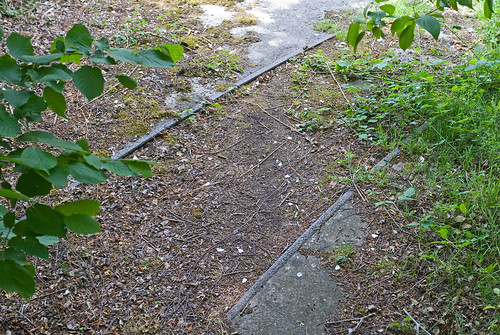
Lower Writhlington along with Kilmersdon were the last working collieries in the area closing in 1973, but less that 40 years has seen the latter disappear under housing and other brownfield redevelopments. However, a glance at Google Earth shows that apart from a private house, the site of the former Lower Writhlington colliery has yet to be developed.
The link below, shows what I found on Wednesday 1st June 2011...
http://www.flickr.com/photos/nevardmedia/sets/72157626758889773/with/5797145522/
Here is the location..
http://maps.google.co.uk/maps?q=writhlington&oe=utf-8&client=firefox-a&ie=UTF8&hl=en&hq=&hnear=Writhlington,+Radstock,+Bath+and+North+East+Somerset,+United+Kingdom&ll=51.295838,-2.424186&spn=0.000985,0.003862&t=h&z=19
No comments:
Post a Comment
All posts will be approved before they go live, posts from spammers will be deleted and marked as spam.